[Ads /]
The Midpeninsula Regional Open Space District invested $25 million and is close to eight years into transforming a former Air Force satellite station into a place where people can admire the Santa Clara Valley from 3,486 feet on foot or by bicycle. A newly paved, five-mile Mount Umunhum Road off Hicks Road provides drivers a smooth, but sometimes winding and steep route to a parking lot. From there, visitors must climb 159 steps to reach the summit.
Meredith Manning, senior planner at the Open Space District, said the summit had been flattened for construction of buildings by the Air Force for housing and other facilities, including a hug concrete structure, dubbed The Cube, that housed radar to track hostile Soviet aircraft during the Cold War. The Cube remains, but has been decontaminated of hazardous materials and sealed shut. The district then created more natural ridges and hills, essentially restoring the peak. Rock gardens have been recently planted with native species, including the California fushia to attract hummingbirds. Mount Umunhum takes its name from the Ohlone native peoples' word for the bird. A native peoples' ceremonial circle has been constructed to allow descendants to pray and dance. There are 12 interpretative signs that provide detailed information about the summit's features.
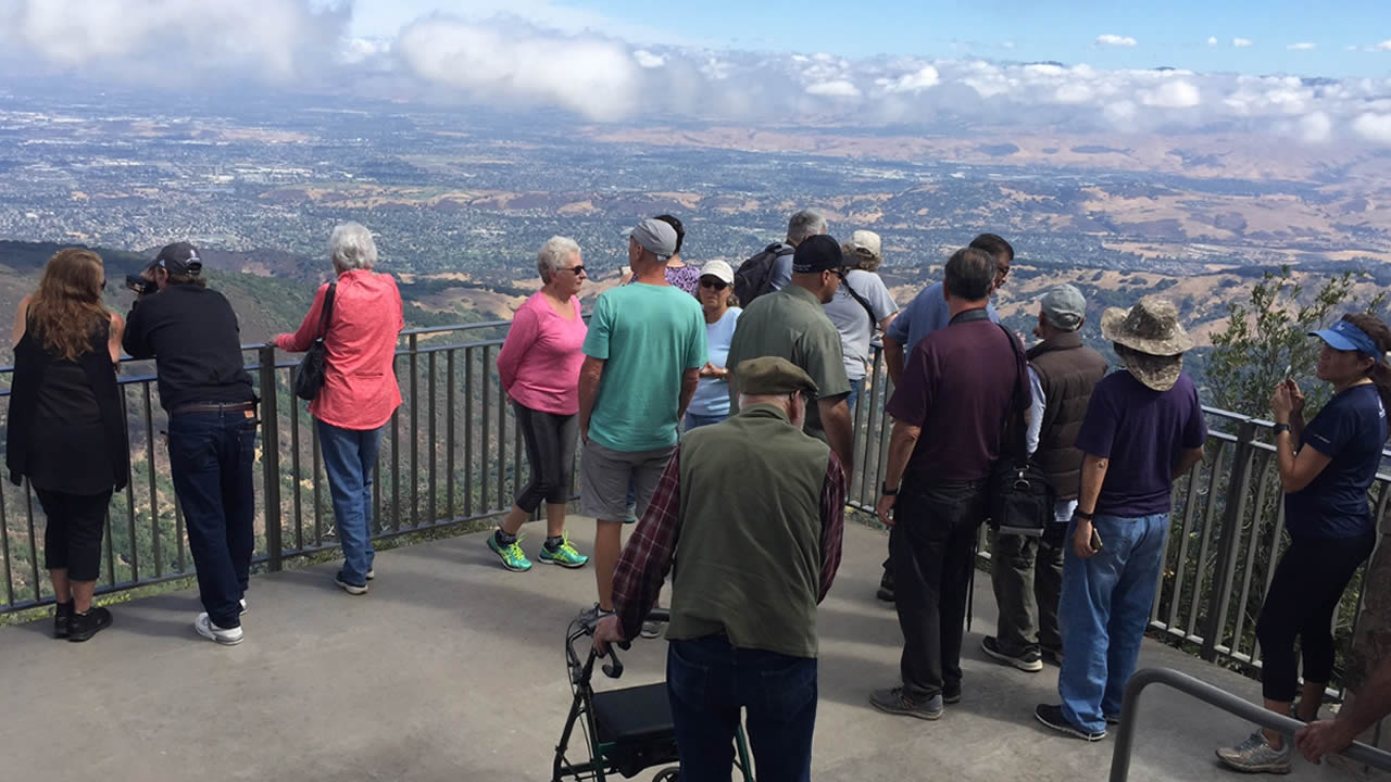
Early visitors Monday morning were mesmerized by the views of downtown San Jose and the coastal range. On a clear day, it's possible to see other mountains, such as Mount Diablo in Contra Costa County.
[Ads /]
Dogs are not allowed, including dogs in cars. There are no trash cans, so visitors are asked to pack in and pack out, meaning they should take away anything they bring to the summit. Also, visitors must bring their own drinking water.

