Atmospheric river to slam Bay Area with heavy rain, damaging winds, flooding

ByMike Nicco, Lisa Argen, and Drew Tuma KGO logo
Tuesday, January 26, 2021
Atmospheric river to slam Bay Area with heavy rain, winds
Starting Tuesday, the Bay Area will get drenched by the strongest storm so far this season, which could bring several inches of rain. Here's how Bay Area residents are preparing.

SAN FRANCISCO (KGO) -- "Use today to prepare," ABC7 News Meteorologist Mike Nicco says the strongest storm of the season is heading to the Bay Area, potentially bringing heavy rain, damaging winds and even snow.

"An active week of weather is heading our way and some of it is going to be extreme," warned Nicco.

LIVE: Track the rain with Live Doppler 7

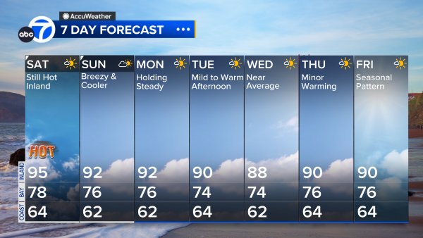
Nicco's AccuWeather forecast shows its going to rain every single day until at least Sunday.

Nicco is really focused on a "12-hour window" between Tuesday and Wednesday when an atmospheric river could trigger flooding on roadways, downed trees and power lines and small stream flooding.

"That's our first strong storm of the season," explained Nicco. "It comes down at such a fast clip, it's going to cause a lot of damage."

STORM TIMELINE: Here's when heaviest rains, strongest winds are expected in Bay Area

It's categorized as a 3 on our Storm Impact Scale.

"I have narrowed it down between 4 p.m. Tuesday until 4 a.m. Wednesday morning. That's when we are going to get heavy rain, up to 3 inches, and the winds are going to be the fastest."

Nicco is warning drivers about hydroplaning.

"We are going to have waves of downpours for the rest of the day Wednesday, which will keep things very wet," he said.

There's also concern about debris flows and mudslides.

"If you live near one of those burn scars you have to be very careful," said Nicco. "The Santa Cruz Mountains, on those burn scars, is where we expect the most rain to fall and also on the North Bay burn scars."

RELATED: Evacuations ordered in Santa Cruz County ahead of storm, possible mudslides

Snow levels are also predicted to drop to 2,000 feet, bringing fresh powder to places like Mount Hamilton and Mount Diablo.

VIDEO: Snow covers Bay Area mountain peaks

Snow levels are predicted to drop to 2,000 feet, bringing fresh powder to places like Mount Hamilton and Mount Diablo.

"Atmospheric rivers are usually warm. They are usually not this cold. That's what makes this one so significant. It's the fact that it's going to bring parts of the Bay Area some snow and some heavy snow up in the Sierra," explained Nicco.

As for the rest of the week?

Showers with heavy downpours, hail and mountain snow continue through Thursday.

"The storm's parameters are less intense Thursday. The storm drops to a 2-Moderate on our Storm Impact Scale," said Nicco. "Wet weather continues Friday through Sunday. These storms only rank a 1-Light on our Storm Impact Scale."

VIDEO: Mike Nicco talks rain, next weeks storm in Bay Area

The strongest storm of the season is heading to the Bay Area, potentially bringing heavy rain and even snow, says ABC7 News Meteorologist Mike Nicco.

RELATED STORIES & VIDEOS: