Atmospheric river timeline: Here's what to expect as storm now moves in Thursday
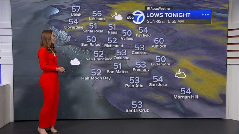
Meteorologist Drew Tuma says a Flood Watch has been issued for the entire Bay Area Thursday afternoon into Friday


SAN FRANCISCO (KGO) -- The next line of rain arrives in the North Bay around 9 p.m. Tuesday night and will move through the Bay Area overnight, exiting by 9 a.m. Wednesday. Little impact is expected from this system, but our attention is focused on the atmospheric river now expected to arrive Thursday.
LIVE: Track rain in San Francisco Bay Area with Live Doppler 7
On Thursday, we will see light rain arrive between noon to 4 p.m. Rain will likely increase its intensity after 7 p.m. Thursday. The main impacts from this storm are likely from 9 p.m. Thursday into noon Friday where we will see heavy rain at times and damaging winds. We will continue to update with any changes but here are how the impacts look right now.
On Tuesday afternoon, ABC7 Meteorologist Drew Tuma gave an update saying a Flood Watch has been issued for the entire Bay Area Thursday afternoon into Friday. He says we are expecting to see areas of localized flooding on roads and smaller streams and creeks.
RAINFALL IMPACTS
The highest rainfall totals will be found in the higher terrain of the North Bay and Santa Cruz Mountains where shallow mudslides are possible as soils are fairly saturated from recent rain. The threat for roadway flooding and stream flooding will be highest on Friday morning across the Bay Area.
Initial estimates for rainfall Thursday p.m. - Friday:
North Bay 2"-5"
SF & Peninsula 1"-3"
East Bay 1"-3"
South Bay 1" - 2"
Santa Cruz Mountains 2" - 5"

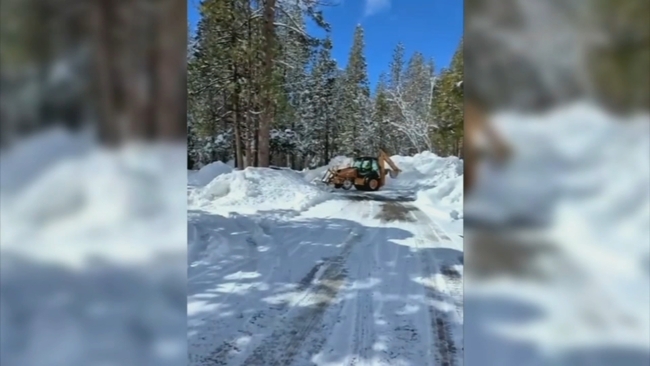
VIDEO: Yosemite National Park remains closed amid winter storm; more snow expected this weekend
WIND IMPACTS
We will see damaging winds Thursday night into Friday morning with gusts of 30-50 mph+. This will bring trees down and will likely lead to isolated power outages.

SIERRA SNOW/RAIN
High snow levels above 7,000 ft mean fewer areas will be impacted by snow. Still likely to see 1 - 3 feet of snow in areas that remain cold enough for it. Areas below 7,000 ft will see all rain with some areas exceeding 6"+ of rainfall.

Click here to download the ABC7 News App to get your weather forecast on the go. And make sure you enable push alerts for immediate notifications and severe weather alerts.