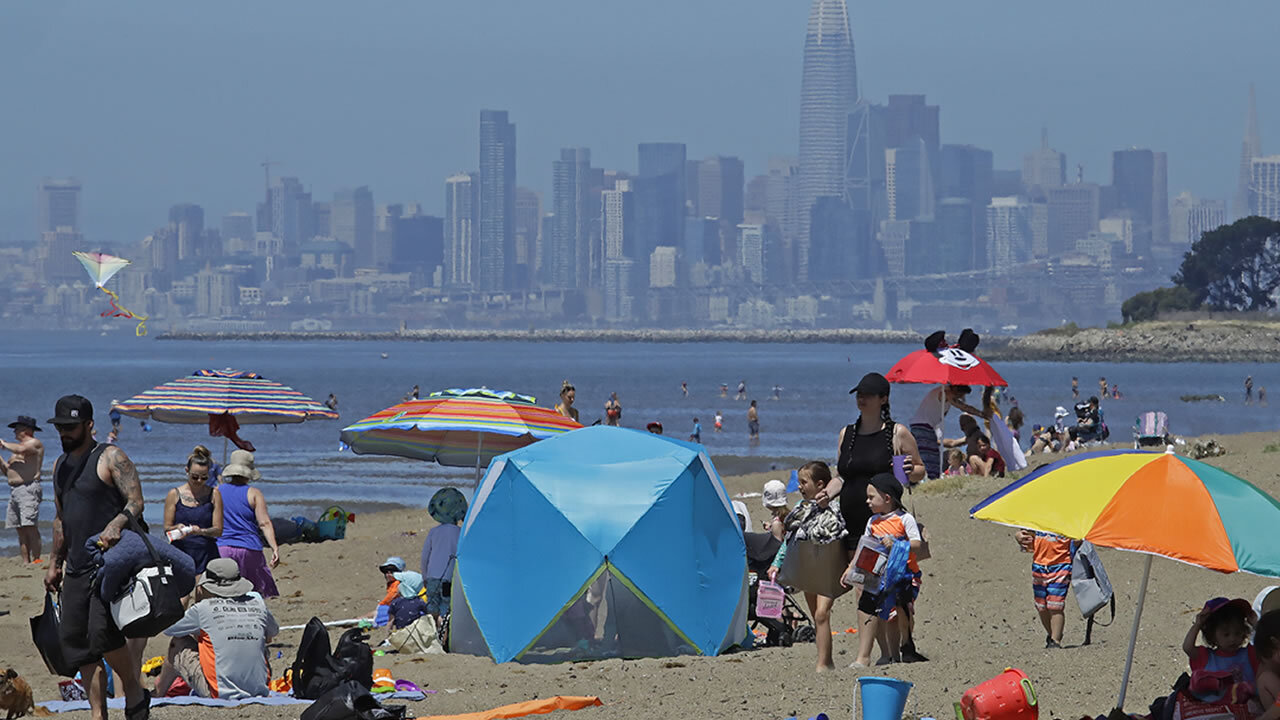
After a weekend of record-breaking temperatures and rare summer thunderstorms, Monday is shaping up to be another hot day in the Bay Area. However, after Monday, there shouldn't be any more booming thunder or flashing lightning in the area, according to ABC7 News meteorologist Mike Nicco.
[Ads /]
RELATED: Newsom signs emergency proclamation amid heat wave
But when will this oppressive heat go away?
Much of the Bay Area is stuck with scorching heat through Wednesday. High temperatures are forecast to be between 102 and 106 degrees between now and Wednesday in inland areas and around 90 degrees along the bay, says Nicco. Only coastal areas will be in the 70s in the first half of the week.
After Wednesday, the worst of the heat will have passed for some. But before you get too excited, it's still going to be pretty hot. Inland, parts of the Bay Area will still be dealing with temperatures in the 90s for the rest of the week. Areas near the bay are about 10 degrees cooler, in the low 80s. The lucky folks by the coast are going to see high 60s and low 70s late in the week.
VIDEO: See incredible video of lighting strikes, thunderstorms across SF Bay Area

See incredible video of lighting strikes, rare thunderstorms across SF Bay Area
But if you're hoping for a real cool-down, we've got some bad news.
[Ads /]
"For the entire Bay Area, models show average or below average highs beginning around Aug. 29, about 12 days from now," says Nicco.
The 12-day countdown starts now.
ABC7 News' Norma Yuriar contributed to this report.
Watch the latest AccuWeather forecast and take a look at recent weather stories and videos.
RELATED STORIES & VIDEOS:
- Watch ABC7's AccuWeather Forecast
- VIDEO: What is a Flex Alert?
- Heat stroke vs heat exhaustion: What's the difference and what are the symptoms?
- How hot can the inside of a car get in 10 minutes?
- Bay Area hits record highs as blistering heat wave continues across region
- Stage 2 emergency declared due to higher demand for power amid heat wave
[Ads /]

