Triple-digit temps in Bay Area forecast for 6 more days before thunderstorms return next week


SAN FRANCISCO (KGO) -- Hurricane Genevieve could bring more humidity to the Bay Area during an already intense heat wave, according to ABC7 News Meteorologist Mike Nicco.
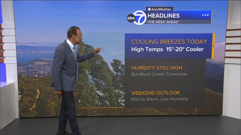
Nicco says 100-degree temperatures continue to dominate the forecast with a new round of possible thunderstorms next week.
RELATED: Here's when the heat wave will be over in the San Francisco Bay Area
In fact, it appears Thursday will be the only day this week without triple-digit weather.
"We are still going to be warmer than average on Thursday... we just won't hit 100," said Nicco.
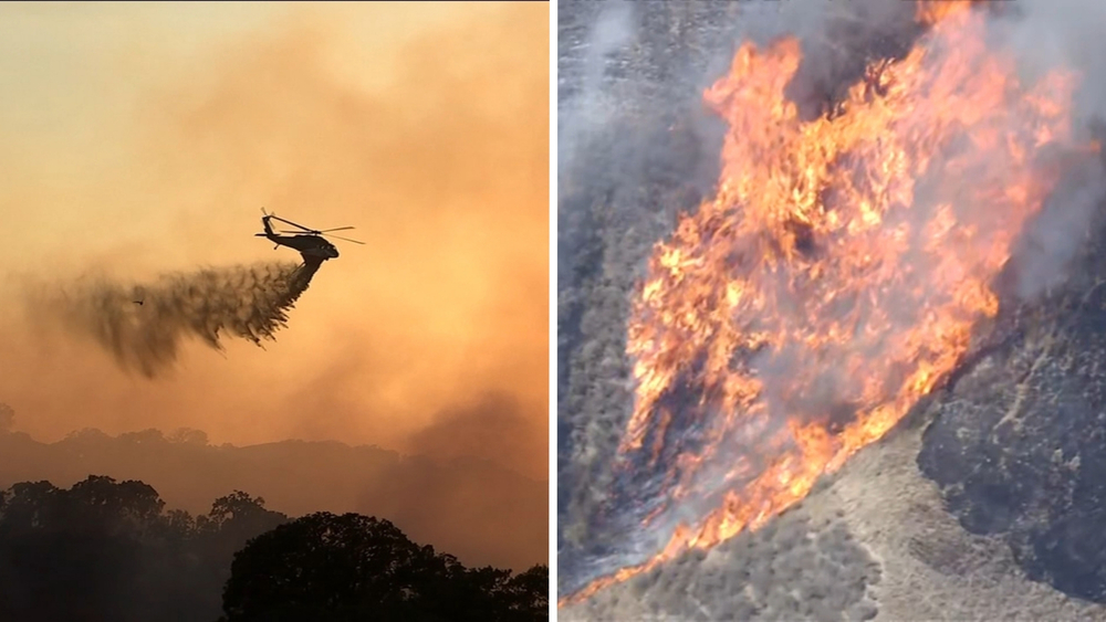
Nicco is tracking a "monster of storm" in the tropics that could impact the Bay Area with a mix of heat and humidity.
"Hurricane Genevieve is a Category 4 and, just like Fausto, the possibility of it sending moisture our way is there," said Nicco.
RELATED: Death Valley climbs to 130 degrees, possibly highest temperature in the world in 100+ years
Future radar shows a chance of thunderstorms Sunday night into Monday morning.
"It's something we will definitely keep an eye on," said Nicco.
An Excessive Heat Warning will be in effect through 9 p.m. Wednesday in the Bay Area.
Nicco's AccuWeather forecast shows inland neighborhoods hitting the 100s on Tuesday and Wednesday, high 90s on Thursday, before temperatures surge back up to 100 on Friday, Saturday, Sunday and Monday.
Watch the latest AccuWeather forecast and take a look at recent weather stories and videos.
RELATED STORIES & VIDEOS:
- Watch ABC7's AccuWeather Forecast
- VIDEO: What is a Flex Alert?
- Heat stroke vs heat exhaustion: What's the difference and what are the symptoms?
- How hot can the inside of a car get in 10 minutes?
- Bay Area hits record highs as blistering heat wave continues across region
- Stage 2 emergency declared due to higher demand for power amid heat wave