Remnants of 'bomb cyclone' or 'bombogenesis' hover over Bay Area as rain continues


SAN FRANCISCO (KGO) -- History was made on Tuesday as a "bomb cyclone" or "bombogenesis" hit the Bay Area for the first time in at least 15 years.
ABC7 News Meteorologist Mike Nicco explained what happened and has a look ahead to the rest of the week.
On Tuesday, Nicco said it started as a cluster of clouds but the low explosively developed, dropping more than 24MB in 24 hours.
RELATED: What is a 'bomb cyclone' and what does it mean for this week's Northern California storm?
It was such an impressive storm, it set an all-time record low pressure for the entire state. That happened in Crescent City.
Hurricane force winds occurred in Cape Blanco, Oregon - 106 mph!
The rain was impressive, too. Nearly three-quarters of an inch fell down in San Jose to more than 2 inches in Mill Valley.
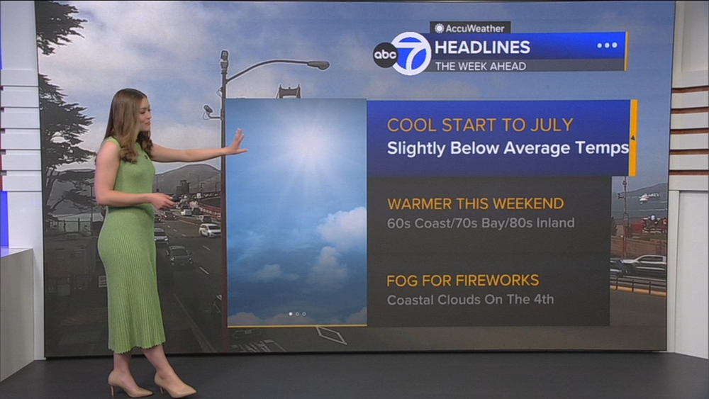
Nicco says there's still a chance of scattered showers and thunderstorms Wednesday and, to a lesser extent, Thursday. That's why we're a 1-Light on the Storm Impact Scale.
There will some brief heavy rain, some possible hail and even snow down to around 2,500 feet.
Remember -- if thunder roars, go indoors for at least 30 minutes.
The bulk of the rain is mainly going to fall Wednesday and we have less of a chance of scattered showers on Thursday. It will be completely dry Friday before more rain rolls in this weekend.
Watch the latest AccuWeather forecast and take a look at recent weather stories and videos.
RELATED STORIES & VIDEOS:
- VIDEO: Watch the latest AccuWeather forecast
- How to prepare your home for winter storms
- TIPS: How do you recover from hydroplaning?
- TIPS: Here's how to use sandbags and prevent flooding
- Planning a snow trip? Check out these Sierra driving tips from the pros
- How to drive safely in snow
- Tips to help you drive in dense fog
- Tips for staying safe while hitting the slopes