High surf warning prompts evacuation warnings along Santa Cruz County coast


SANTA CRUZ COUNTY, Calif. -- The National Weather Service has issued a high surf warning for Santa Cruz County starting Jan. 12 at 1 p.m. and ending Jan. 14 at 10 a.m.
Between the increased tide, high surf and the reduction of beach sand the country expects there is a significant potential for flooding along Beach Drive, Las Olas Drive and Potbelly Beach Road.
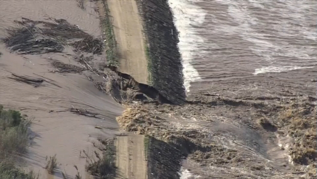
VIDEO: Aerial views of Salinas River flooding in Monterey County as levee breaks from overflowing water
Officials are recommending residents in these areas should be prepared to evacuate and move to higher ground if floods start.
According to the sheriff's office has also issued evacuation warnings for Seacliff State Beach and encompassing Beach Drive and New Brighton State Beach & beyond.
The following zones are affected: CTL-E048 and CTL-E031
Having trouble loading the map above? Click here to open it in a new window.
The NWS also issued a Coastal Advisory on Friday for all of the Santa Cruz County coastline for high tide, larger swell, and run off from rain.
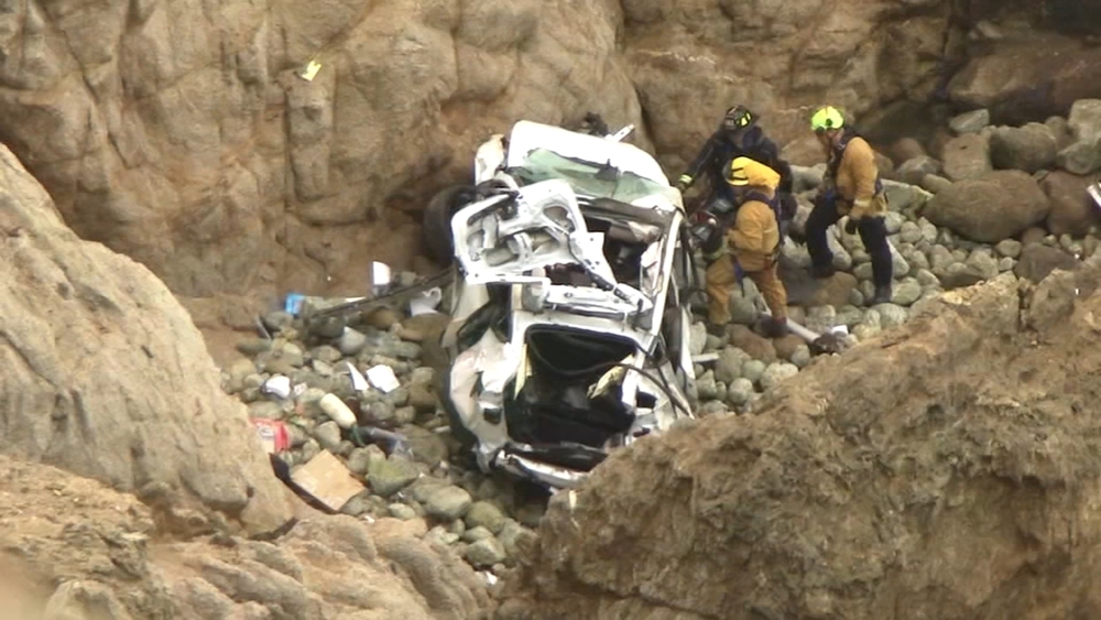
These warnings come after parts of the Santa Cruz County coast were left destroyed by a powerful atmospheric river.
Capitola was especially hit hard by that storm, video from all over social media showed parts of the wharf being washed away by massive waves and much of the downtown area inundated with water.
The-CNN-Wire
& 2023 Cable News Network, Inc., a Warner Bros. Discovery Company. All rights reserved.
The video above is from a previous story.