MAPS: Wildfires burning across California, interactive look at home damage


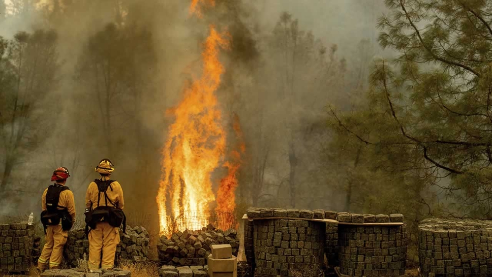
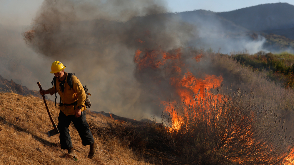
The U.S. Forest Service reports that an estimated 1 million acres have been burned in California wildfires this year.
Mendocino Complex Fire:
Delta Fire:
If you haven't been able to go back and check on your home in the wildfires, you may find the below tool from Cal Fire very useful.
All you have to do is enter your address or a location. Green means that the house has slight damage. Yellow means minor damage. Orange means major damage. Red means completely destroyed.
There's no color that means the house is either undamaged or they have no information.
Cal Fire cautions that the map is not conclusive and they are still assessing the properties and that data could change.
HOME MAP: Visit this page to find out if your home, business, or any other structure was damaged or destroyed in the Carr Fire.
Interactive CAL FIRE map of Carr Fire damage:
Animated CAL FIRE map below:
The map can also be viewed here.
Get the latest on the Delta Fire here, the Carr Fire here, the Complex Fire here and the latest on wildfires across California here.
RELATED WILDFIRE STORIES & VIDEOS:
- MAPS: Wildfires burning across California
- The latest evacuation orders for Shasta County's Carr Fire, Mendocino County's Complex Fire
- PHOTOS: Massive Carr Fire tears through Shasta County
- How to help Carr Fire victims in Redding and Shasta County, California
- Photos from the wildfires across California
- VIDEO: What it's like to fly over the Carr Fire in a Calif. National Guard plane
- VIDEO: Drive through Carr Fire near Redding reveals apocalyptic scenes
- VIDEO: Firefighters get brief rest in neighbor's yard during 'apocalyptic' Carr Fire in Shasta County
- VIDEO: New look at destruction from Carr Fire in Redding
- Most destructive California wildfires in history
- How to prepare for a wildfire evacuation
- PG&E may cut electricity during high fire danger, are you prepared?
- The difference between containing and controlling a wildfire
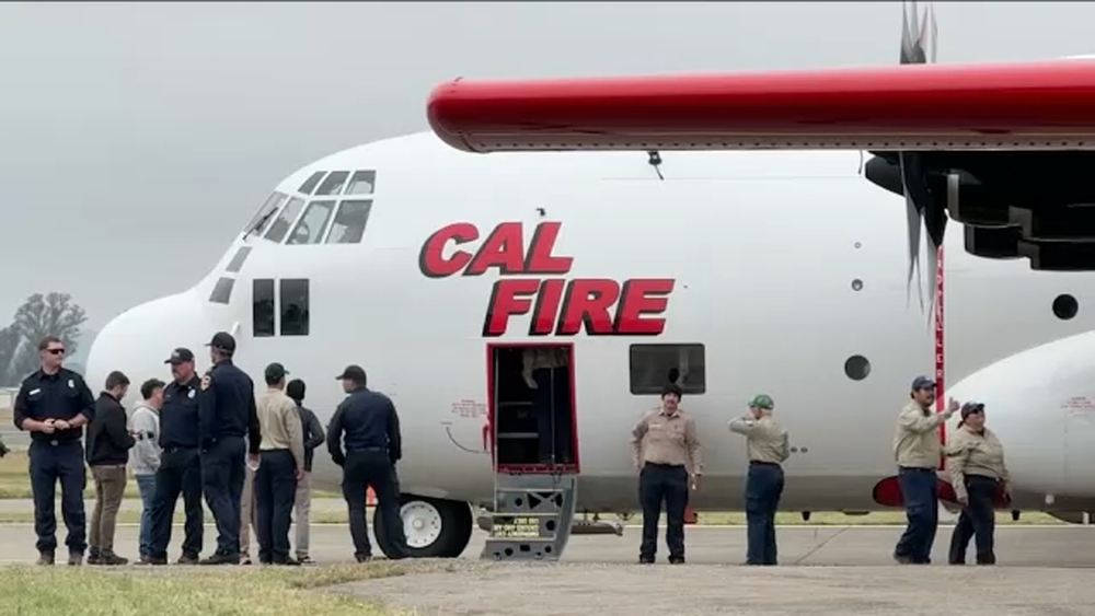
- These aircraft are on the front lines of the fight against California wildfires
- Wildfire masks: How to best protect yourself from smoke during a fire
- How wildfire smoke can impact your health
- How to sign up for emergency alerts where you live
- Surviving a long-term power outage
- Safety tips to remember when returning home after wildfire
- DIY: How to make a pet carrier in case of emergency
- How to prepare your pets in case of disaster