24/7 Live
San Francisco
East Bay
South Bay
Peninsula
North Bay
Live
Weather Conditions
Bay Area Live Cams
Gas Calculator
Keep KGO on the Air
Contact ABC7
7 On Your Side
I-Team
Building A Better Bay Area
S.F. Peninsula
Share
Tweet
Email
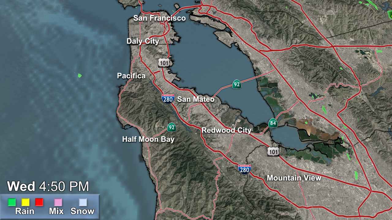
Live Doppler 7
Share
Tweet
Email
Animate
Northern California
S.F. Bay Area
North Bay
East Bay
South Bay
Monterey
Live Web Cams
Bay Bridge Live Camera
Treasure Island Live Cam
Emeryville Live Camera
Vollmer Peak Live Camera
San Francisco Live Camera
Lake Tahoe Live Cam
See All Live Web Cams
Weather Team
Lisa Argen
Spencer Christian
Sandhya Patel
Drew Tuma