North Bay

- Flood Advisory
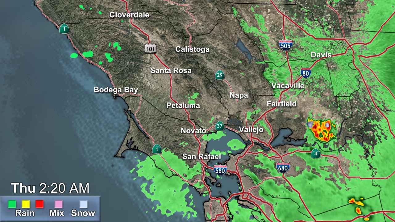
* WHAT...Urban area and small stream flooding caused by excessive rainfall continues. * WHERE...A portion of northern California, including the following county, southeastern Sonoma. * WHEN...Until 130 AM PST Sunday. * IMPACTS...Minor flooding in low-lying and poor drainage areas. Rises in small streams, creeks, and water over roadways. * ADDITIONAL DETAILS... - At 658 PM PST, residual urban and small stream flooding continues due to recent heavy rainfall. - Some locations that will experience flooding include... Petaluma and Rohnert Park. - http://www.weather.gov/safety/floodMore
- Flood Advisory
* WHAT...Urban area and small stream flooding caused by excessive rainfall continues. * WHERE...A portion of northern California, including the following county, central Sonoma. * WHEN...Until 145 AM PST Sunday. * IMPACTS...Water over roadways. River or stream flows are elevated. Ponding of water in urban or other areas is occurring or is imminent. * ADDITIONAL DETAILS... - At 658 PM PST, gauge reports indicated heavy rain. This will cause urban and small stream flooding. Rapid river rises will cause minor flooding in the advisory area. - Some locations that will experience flooding include... Santa Rosa, Rohnert Park, Windsor, Sebastopol, Cotati, Roseland, South Santa Rosa Cdp, Larkfield-Wikiup, Forestville, South Santa Rosa, Graton, Occidental, Glen Ellen and Monte Rio. - http://www.weather.gov/safety/floodMore
- Coastal Flood Advisory
* WHAT...Minor coastal flooding. * WHERE...North Bay Interior Valleys and San Francisco Bay Shoreline Counties. * WHEN...Until 1 PM PST Monday. * IMPACTS...Flooding of lots, parks, and roads with only isolated road closures expected. * ADDITIONAL DETAILS...Tidal levels are increasing as a result of higher astronomical tides. Low lying areas within the San Francisco Bay Area may see minor flooding as a result during high tide. San Francisco highest tides are 7.02 ft at 10:22 am Sunday, and 6.82 ft at 11:08 am Monday.More
- Coastal Flood Advisory
* WHAT...For the Coastal Flood Advisory, minor coastal flooding expected due to King Tides. * WHERE...For the Coastal Flood Advisory, low-lying areas along the Pacific Ocean and San Francisco Bay shoreline. * WHEN...For the Coastal Flood Advisory, until 1 PM PST Monday. * IMPACTS...Flooding of lots, parks, and roads with only isolated road closures expected. * ADDITIONAL DETAILS...For the Coastal Flood Advisory, tidal levels are increasing as a result of higher astronomical tides. Low lying areas within the San Francisco Bay Area may see minor flooding as a result during high tide. San Francisco highest tides are 7.02 ft at 10:22 am Sunday, and 6.82 ft at 11:08 am Monday.More
- Flood Watch
* WHAT...Flooding caused by runoff from excessive rainfall continues to be possible. * WHERE...Flood-prone areas around Carmel River Lagoon including River Park Place, locations south of 15th Avenue and Mission Ranch. * WHEN...Through late tonight. * IMPACTS...Excessive runoff may result in flooding of rivers, creeks, streams, and other low-lying and flood-prone locations. Flooding may occur in poor drainage and urban areas. Extensive street flooding and flooding of creeks and rivers are possible. * ADDITIONAL DETAILS... - Forecast excessive rainfall runoff with high tides and large surf may result in the rise of the Carmel River at the Carmel River Lagoon. - http://www.weather.gov/safety/floodMore
- Flood Watch
* WHAT...Flooding caused by runoff from excessive rainfall continues to be possible. * WHERE...The North Bay. * WHEN...Through Sunday afternoon. * IMPACTS...Excessive runoff may result in flooding of rivers, creeks, streams, and other low-lying and flood-prone locations. Creeks and streams may rise out of their banks. Flooding may occur in poor drainage and urban areas. * ADDITIONAL DETAILS... - We continue to monitor the larger rivers that are likely to crest on Sunday, after the heavy rain. - http://www.weather.gov/safety/floodMore
- Frost Advisory
* WHAT...Temperatures as low as 31 will result in frost formation. * WHERE...Interior Monterey County and the Santa Lucia Range, most of San Benito County and the Cholame Hills in Southeast Monterey County, North Bay Interior Mountains, North Bay Interior Valleys, Eastern Santa Clara Hills, East Bay Hills, and Southern Salinas Valley/Arroyo Seco and Lake San Antonio. * WHEN...From midnight tonight to 9 AM PST Sunday. * IMPACTS...Frost could harm sensitive outdoor vegetation. Sensitive outdoor plants may be killed if left uncovered. Cold conditions will be hazardous to sensitive populations such as unhoused individuals. Cold conditions can lead to hypothermia with prolonged exposure. * ADDITIONAL DETAILS...Sub-freezing temperatures will be possible in the highest elevations across the warned area.More


