Bay Area storm timeline: Record warmth before atmospheric river brings heavy rain midweek


Tuesday, January 30, 2024

SAN FRANCISCO (KGO) -- The Bay Area is seeing another day of record warm temperatures Monday before an atmospheric river arrives Wednesday.
UPDATE: Strong level 3 storm Wednesday will bring heavy rain with flood watch for entire Bay Area
LIVE RADAR: Track storms as they move through the Bay Area with Live Doppler 7
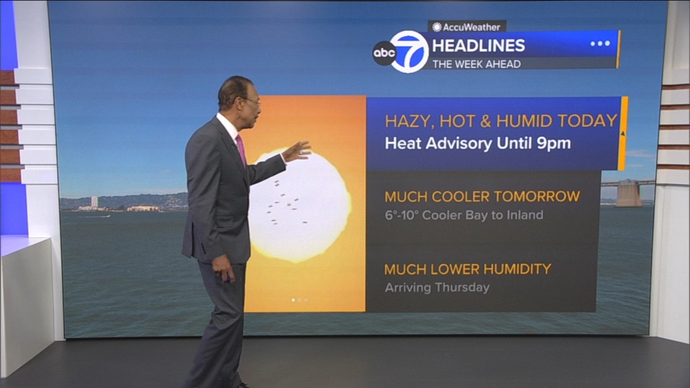
ABC7 News meteorologist Drew Tuma has more on what to expect this week.
Record Warmth
- Daytime highs going 10-15 degrees above average Monday
- Expecting several cities to achieve new record highs this afternoon
- It is a mostly sunny day with this record warmth
Atmospheric River
- Atmospheric river of moderate strength arrives Wednesday
- 4 p.m. Wednesday - 4 a.m. Thursday will be the period of the worst rain and wind
- Currently a 2 on the ABC7 Exclusive Storm Impact Scale but will likely need to increase to a 3 as new information arrives Monday
- Flooding on roads, streams, shallow landslides all possible as our ground is already saturated
- Trees down and power outages likely
- River flooding threat remains low as our rivers can still handle this amount of rain
- Thursday morning would be the time we would see the worst effects of storm damage


Watch the latest AccuWeather forecast and take a look at recent weather stories and videos.

Copyright © 2026 KGO-TV. All Rights Reserved.