TIMELINE: Bay Area under flood watch Sunday with atmospheric river, Level 4 storm


SAN FRANCISCO (KGO) -- A strong Level 4 storm is moving across the region bringing flood watches.
The video in the player above is not related to the current story. The ABC7 Bay Area 24/7 streaming channel allows you to see news throughout the day.
LIVE RADAR: Track storms as they move through the Bay Area with Live Doppler 7
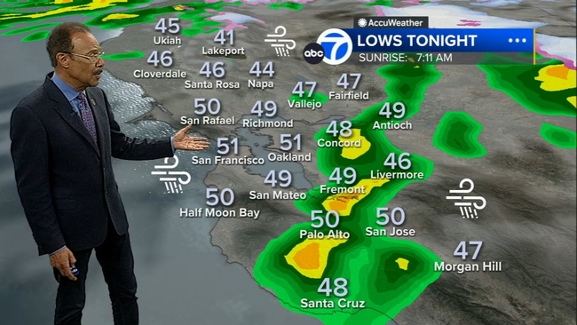
WATCH: Latest AccuWeather forecast
LIVE UPDATES: Latest of Bay Area Level 4 storm
It was previously upgraded from a Level 3 on ABC7's the Storm Impact Scale.
The storm is growing in intensity. We could see higher rain totals.
5-7" of rain is expected over the highest peaks of the Santa Cruz Mountains & the Big Sur coast.
3-5"- 5" for Santa Cruz Co and higher elevations of the North Bay.
2.5"-3.5" is expected across SF, Oakland, East Bay Hills, lower elevations of San Mateo, Interior North Bay.
2-3" Santa Clara Valley, Interior East Bay.
FLOOD WATCH entire Bay Area until 10 a.m. on Monday.
Flooding of roadways, landslides and rises in creeks, rivers & streams are likely.
WIND ADVISORY until 10 p.m.: East winds 15-25 mph, gusts up to 50 mph. entire Bay Area except in the higher elevations.
HIGH WIND WARNING UNTIL 10 p.m. for the North Bay, SF, the peninsula, East Bay hills, Santa Clara hills, Santa Cruz Mountains: Southeast winds 20 -30 mph with gusts to 60 mph.
Damaging winds could blow down trees, power lines, and power outages can be expected.
Gusts of 80 mph in the highest peaks of the Santa Cruz Mountains & Diablo Range.


HIGH SURF ADVISORY until 4 a.m. Monday.
20- 25 feet breaking waves. 25-35 feet near the Big Sur Coast.
WINTER STORM WARNING 4 a.m. SUNDAY - 4 a.m. TUESDAY:
2-4 feet of snow is expected for the west slopes of the Sierra Nevada with southerly winds up to 55 mph.
LAKE TAHOE: WINTER STORM WARNING until 4 a.m. TUESDAY:
1-3 feet below 7,000 feet.
6 inches below 5,500 feet. 3-5 feet above 7,000 feet.
35-55 mph gusts in the lower elevations.
Winds gusting to 100 mph along the Sierra Ridges.
Watch the latest AccuWeather forecast and take a look at recent weather stories and videos.
Bay City News contributed to this report.