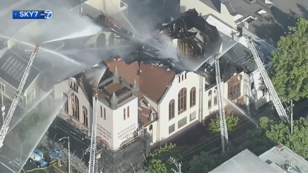
Timeline: Today's strong storm is Level 3 as Bay Area deals with flooding and damage


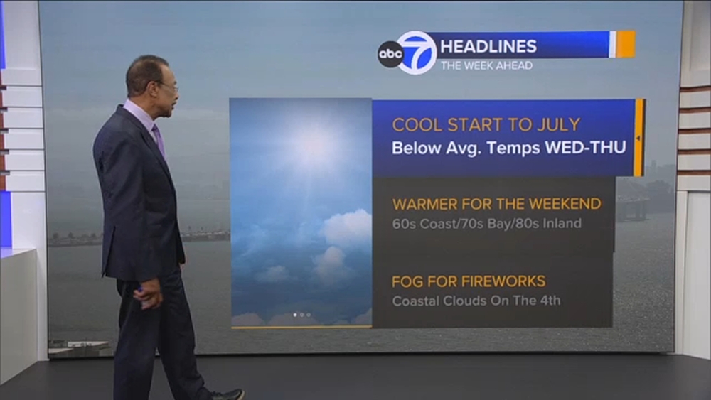
SAN FRANCISCO (KGO) -- Thursday's storm is ranking a strong Level 3 on the exclusive ABC7 Storm Impact Scale. This is compared to the Level 5 storm on Wednesday, the first Level 5 in the history of the scale.
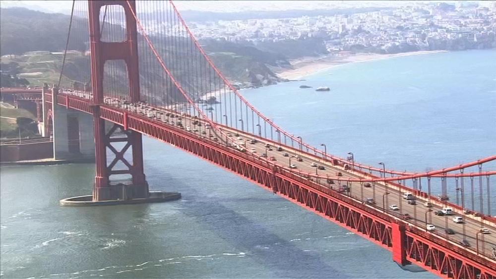
The entire region remains under a Flood Advisory, and winds will continue to be an issue until 10 a.m. Thursday.
LIVE UPDATES: Most of region under moderate flooding risk ahead of atmospheric river
Rainfall will be .50" to 1" between 6 a.m. to 10 a.m. which will create new areas of flooding.
Winds will remain gusty until at least 10 a.m. and then will calm down.
Then we will see the rain, showers leave the region between noon to 2 p.m.
LIVE: Track rain in San Francisco Bay Area with Live Doppler 7
Areas we are watching for flooding:
North Bay
- Russian River at Guerneville & Geyserville
- Mark West Creek at Mirabel Heights
- Maacama Creek near Kellogg
- Laguna de Santa Rosa at Stony Point Rd near Cotati
East Bay
- Alameda Creek near Niles
- Alameda Creek above Div Dam near Sunol
- Arroyo de La Laguna at Verona
South Bay
- Potentially portions of San Francisquito Creek
- Coyote Creek above Hwy 237 at Milpitas
- Pacheco Creek near Dunneville
Watch the latest AccuWeather forecast and take a look at recent weather stories and videos.